
The equipment that land surveyors use has been changing rapidly over the past 30 years. Equipment that land surveyors use include:
- Total station,
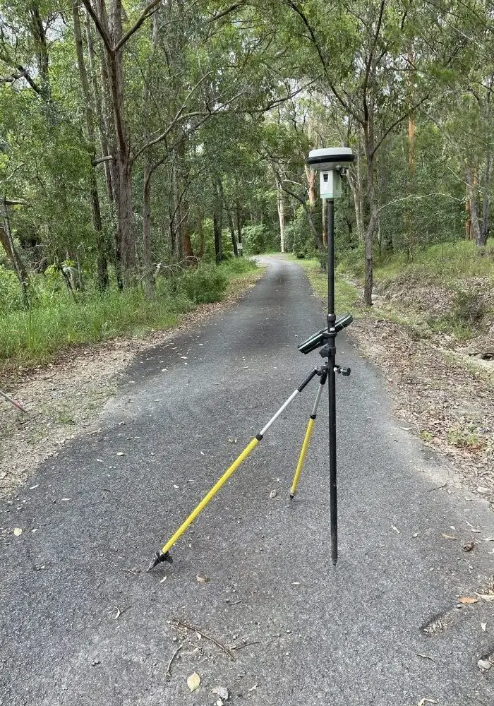
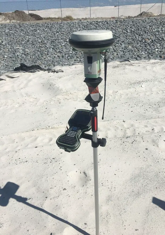
- GNSS receiver,
- Controllers (data collectors),
- Optical levels (dumpy levels),
- Digital levels,
- Prisms,
- Range poles,
- Tripods,
- Laser scanners,
- Drones and UAVs,
- Survey control point marks,
- Various hand tools, and
- Personal protective equipment (PPE).
Below is a list of all the equipment used in land surveying today.
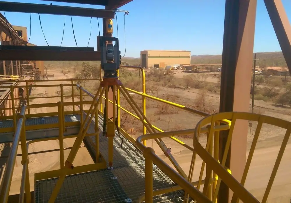
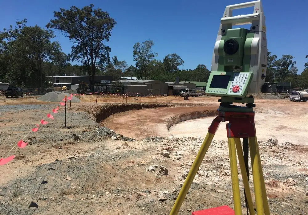
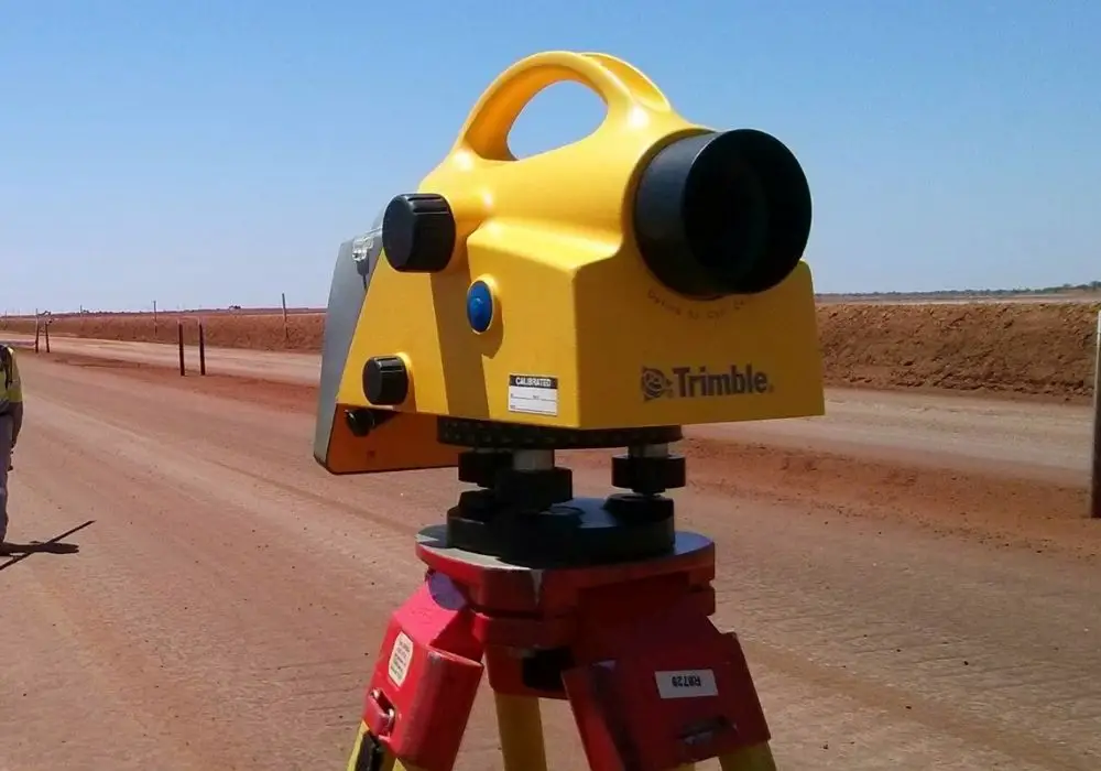
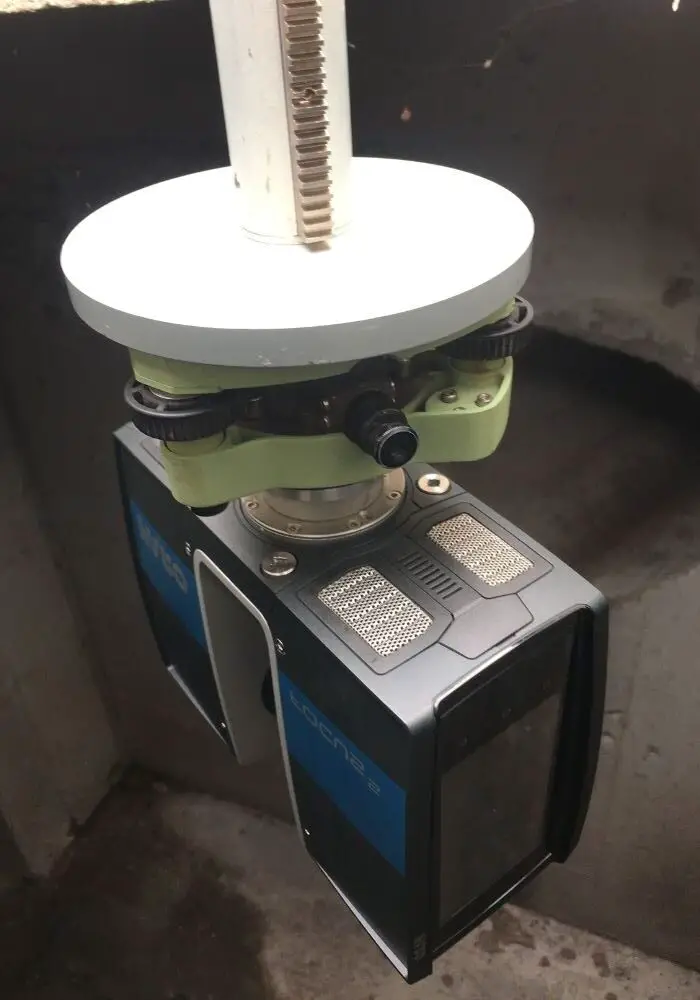
Total Station
A total station is a surveying instrument that can measure both distances and angles. At one point in time, this used to be done by two separate instruments; a theodolite (measures angles) and an Electronic Distance Measurer (EDM) (measures distances).
One of the earliest total stations was the Hewlett-Packard 3800A. The 3800A could measure distances up to 1.6 kilometres and had a distance accuracy of +/-5mm + 10ppm. Today’s modern instruments can measure over 3 kilometres and can have a distance accuracy of +/-0.6mm + 1ppm.
Related reading: What Does PPM Mean For Surveyors?
Some modern total stations are now even incorporating terrestrial laser scanners. These are being referred to as multi stations.
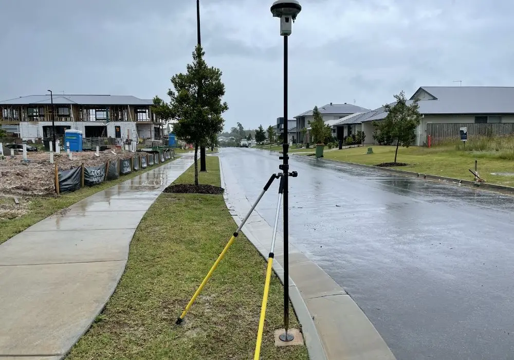
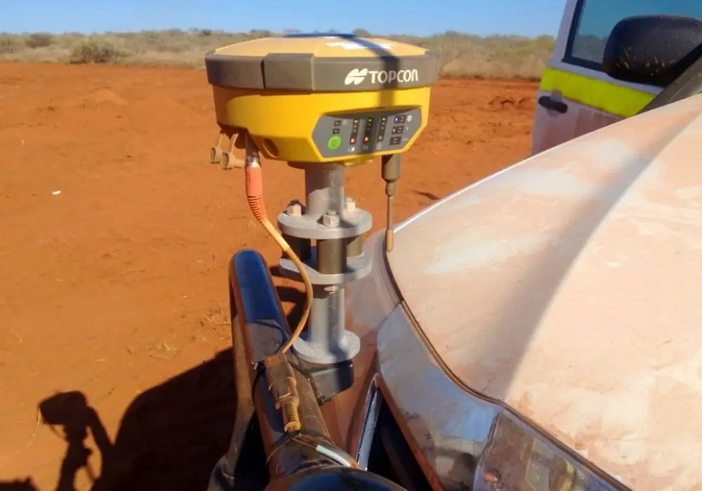
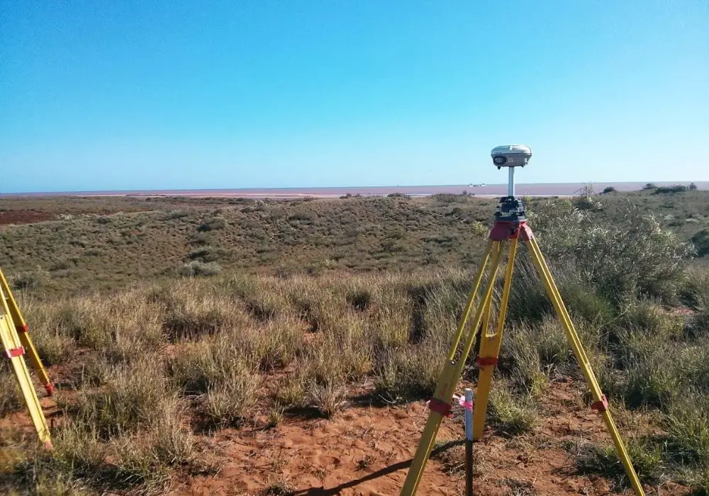
GNSS receiver
Global Navigation Satellite System (GNSS) receivers are a common piece of survey equipment used by surveyors in applications where only centimetre accuracy is required.
There are many different satellite constellations that modern GNSS receivers can see including GPS, Glonass, Galileo, BeiDou, IRNSS, QZSS. The more satellite constellations available has improved the performance and availability of GNSS receivers.
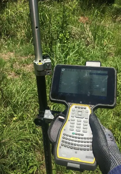
Controller (Data Collector)
Survey controllers give surveyors complete control to be able to complete such surveying tasks as setting out points or surveying the position and details of built and natural features.
Controllers allow the surveyor to remotely control the total station, store and record measurements, view surveyed points and design data as a map, import and export data for other use, take photographs (if a built-in camera is present), measure distance with a built-in distometer.
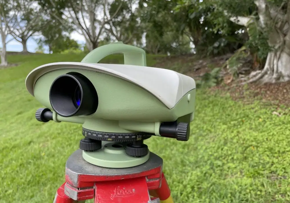
Optical (Dumpy) Levels
Dumpy levels are used by many tradespeople and professions in the building and construction industry.
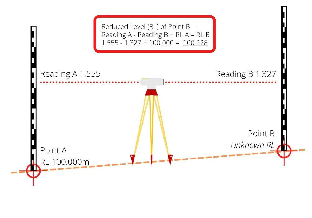
The dumpy level is an optical instrument (does not require any power) that can be used to transfer levels. It does this by the operator reading a staff level at Point A, then measuring the staff reading at Point B, the height of Point B is the height of Point A + the difference in height between Point A & B.
The accuracy and quality of these instruments can vary greatly between manufacturers and price point. Also the cheaper the instrument the less likely it will be able to hold its adjustment for long and will need continual checking and calibrating.
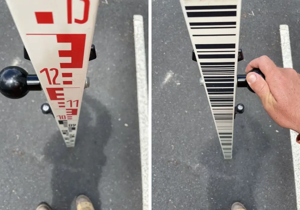
Digital Levels
Digital levels are similar to dumpy levels, however, instead of the operator having to manually observe the staff at each point and noting the staff reading down, the operator instead measures a barcode which then the digital level can accurately read the staff to sub-millimetre accuracy.
The digital levels are also capable of calculating the reduced level of objects on-the-fly and even complete an adjustment on the readings at the end of the level run.
Prisms
Prisms are used with total stations to measure traverse stations and ground features.
Prisms can either be mounted on a tripod for accurate readings to important marks, or they can be mounted on a range pole and carried around for accurate and convenient measurements.
There are many different types of prisms that have different applications in surveying.
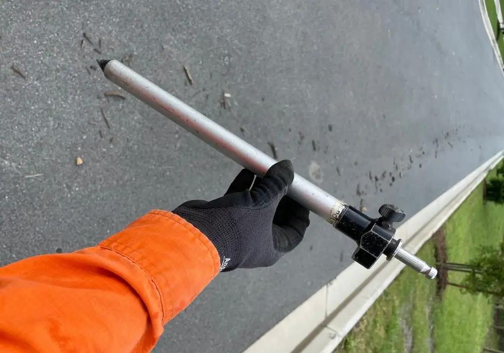
Range Poles
Range poles are used for setting out construction points or surveying natural features. The range pole is made of:
- A points tip at the bottom
- A level bubble
- A mount for a controller
- A threaded or nub mount at the top to hold either a prism or a GNSS receiver.
Today they are made out of either a light steel alloy or carbon fibre.
The sizes and type of range pole vary based on the required application.
Carbon Fibre Range Poles
Carbon fibre range poles are commonly used with GNSS receivers. They are more lightweight and less durable than a steel range pole and are less likely to be height adjustable. Commonly they have a fixed pole length of 2.0m.
Steel Range Poles
Steel range poles are commonly used with a prism mounted on them. They are more durable than a carbon fibre rod and are adjustable. The pole is adjustable to avoid objects that may be blocking the total stations light or sight.
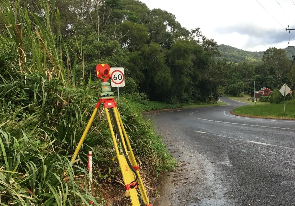
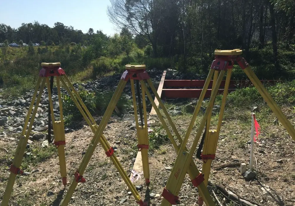
Tripods
Tripods are used to mount surveying equipment on top of them, with the tripods commonly set up over a point. The surveying equipment is held in place by a ⅝ inch thread which screws into a tribrach which also has a ⅝ inch threaded hole.
Tripods are made from a variety of materials including wood, carbon fibre, aluminium and are used across all surveying related disciplines.
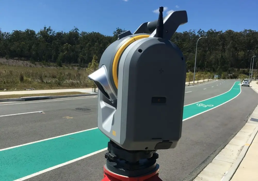
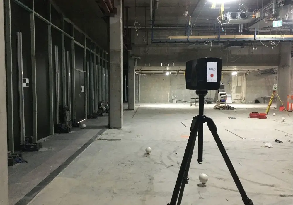
Laser Scanners
Laser scanners are becoming more commonly used in surveying. With barriers to entry such as cost and experience being removed more and more surveying companies are using laser scanners in the daily operations.
Laser scanners are used in applications where the object to survey is inaccessible, the window to complete the survey fieldwork is short, or a great amount of detail is required.
Laser scanners can collect over 1 million points in one second with millimetre accuracy.
Drones And UAVs
Drones or UAVs (Unmanned Aerial Vehicles) can quickly and cheaply capture large amounts of data of inaccessible land or just large areas of land. They can do this by having a mounted camera, LiDAR or other sensor attached to the drone.
Learn more about the uses and applications of drones in surveyings here.
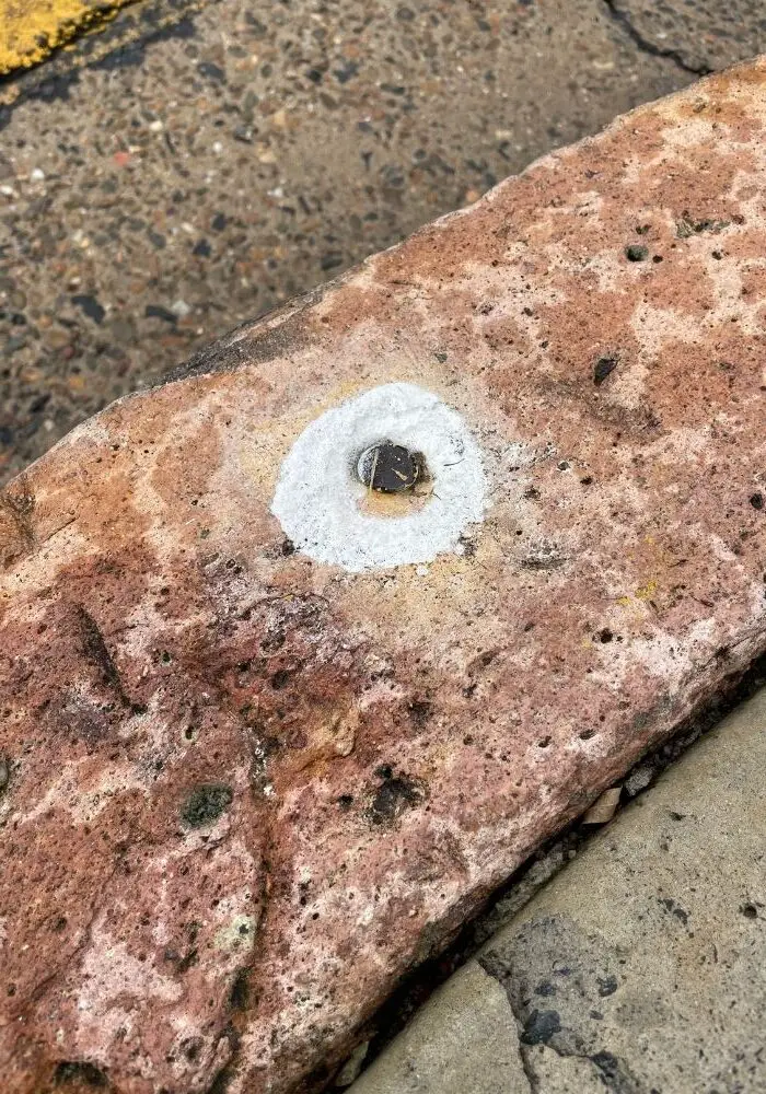
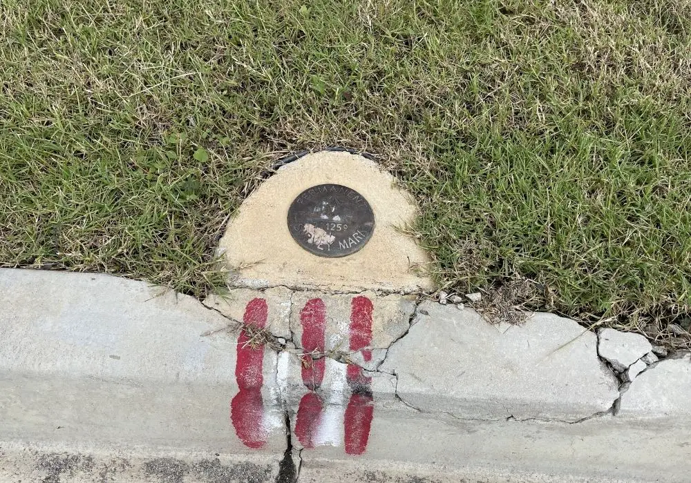
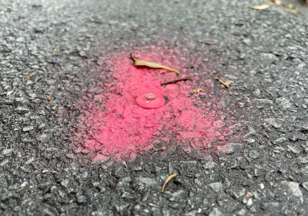
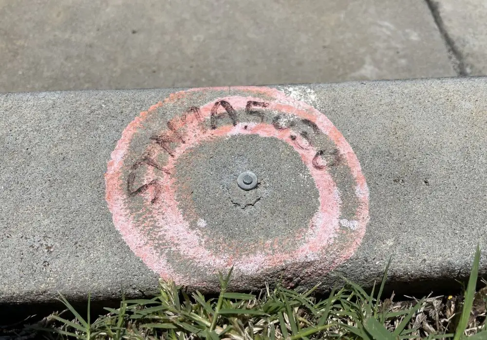
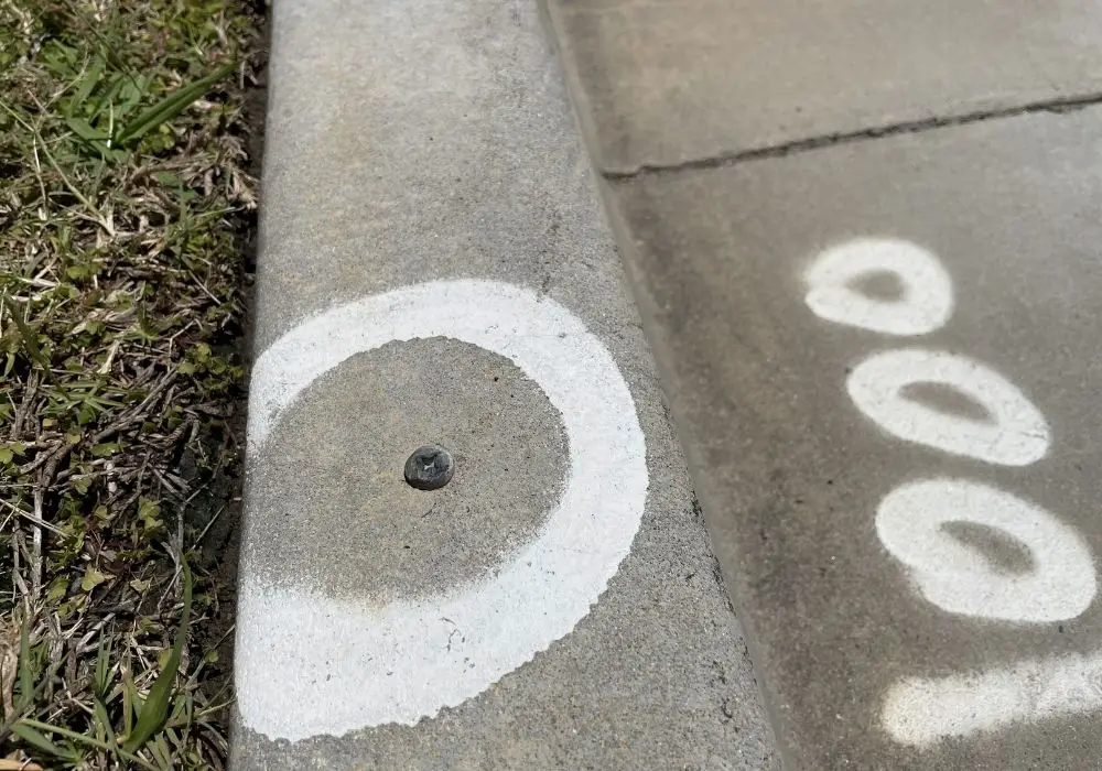
Survey Control Point Marks
When a surveyor comes to survey a site, they will usually leave behind some evidence of their being there. This will be in the form of survey marks used in their survey.
The reason that a survey does this is so that if they need to return to the site, they will be able to use the surveyed known positions of the control points and continue survey work on the same datum.
To see a detailed list of the types of survey marks that surveyors use, check out this page.
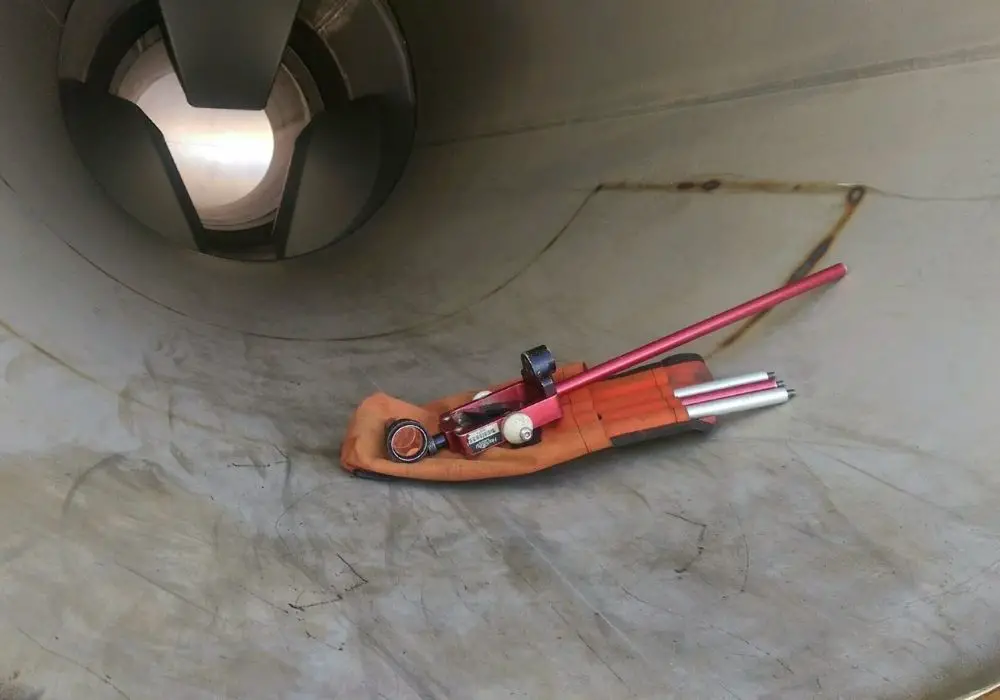
Hand Tools
There are many different hand tools that surveyors use, click here to view our full list of applicable tools.
Personal Protective Equipment (PPE)
Surveying can be a high-risk job. Working on construction sites, or in remote parts of the world. Surveyors need to have the right tool for the job. View our list of PPE for surveyors.
