The best tools for accurately measuring short distances and long distances include:
- Caliper
- Steel ruler
- Tape measure
- Laser Distance Measurer
- Total Station
- GPS
There are many other tools out there that can measure distances, but the list above captures the tools you need to accurately measure distances from 1/10th of a millimeter to over 100 kilometers long.
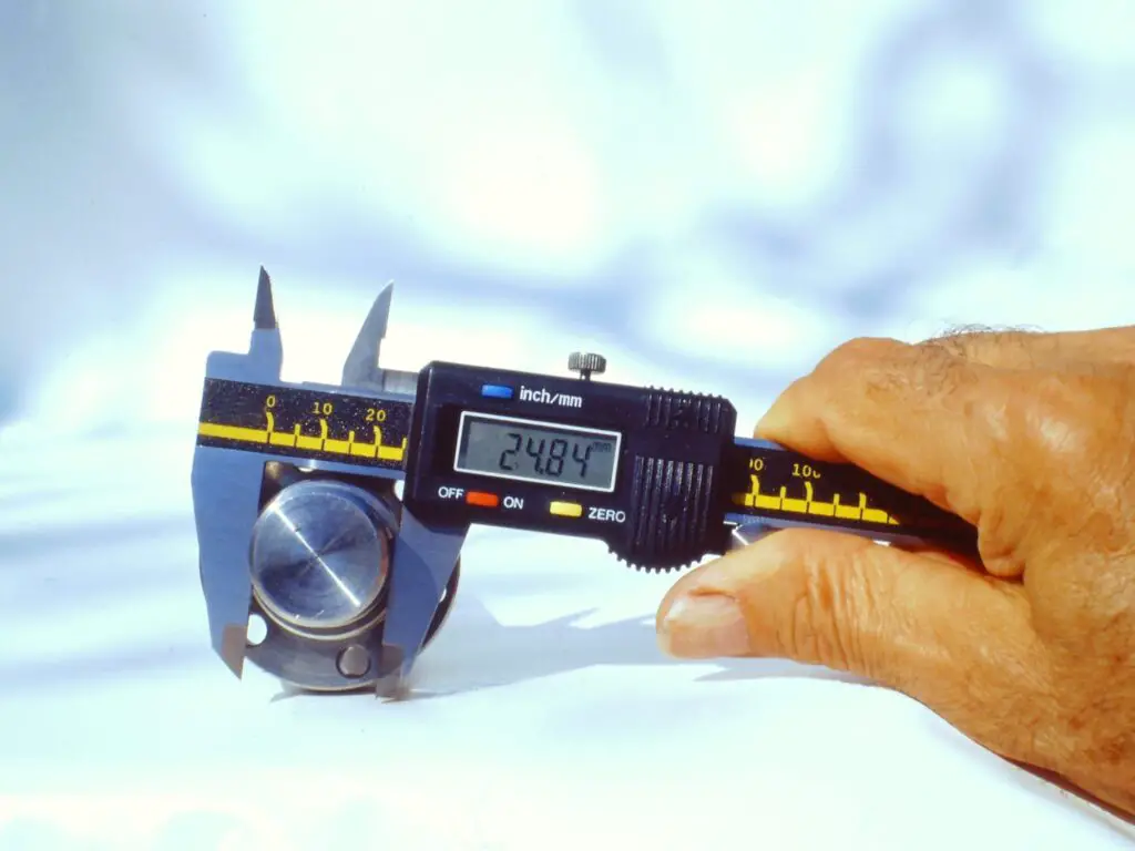
1. Caliper
Calipers are used to accurately measure short distances that are too short for conventional tools to measure. It measures distances by closing its two measuring surfaces around an object.
Examples of objects they can measure include:
- Bolt holes and bolt thread diameter.
- The thickness of a pipe wall.
- Internal or external diameter of a pipe.
- Welding gaps.
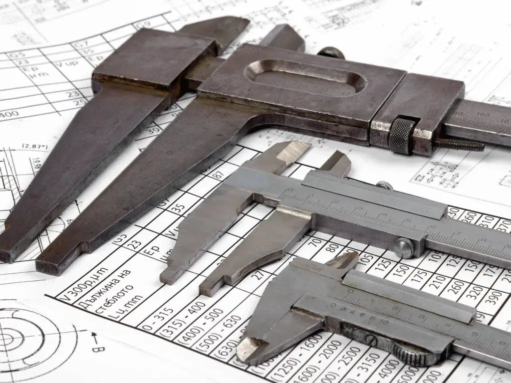
There are two types of calipers:
- Digital calipers, and
- Vernier calipers.
The digital calipers have a digital display that shows the distance measurement. The advantage of the digital caliper is that it is faster and easier to get an accurate measurement to the nearest 1/10th of a millimeter (0.0005 inches).
With a vernier caliper, you can still measure as accurately as the digital version, however, it will just take a bit more time and a bit more experience to understand how to use it and get an accurate measurement.
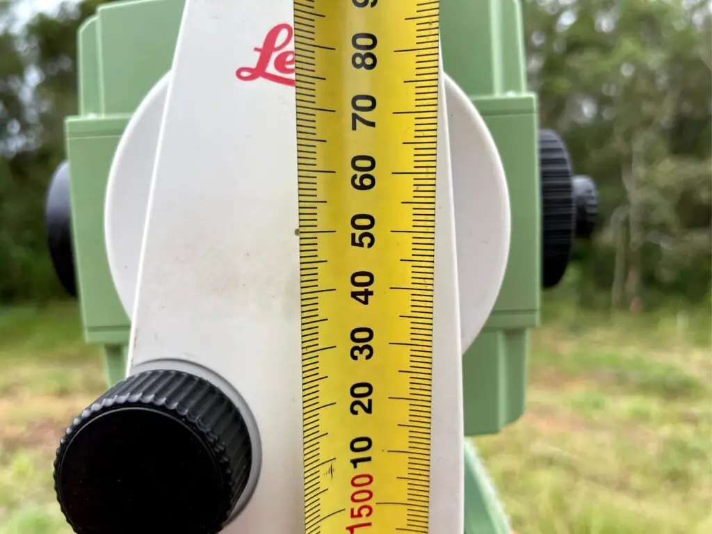
2. Steel ruler
As a surveyor that spent a lot of time working on SMP construction projects, I always had a 150mm steel ruler in my pocket in case I needed to take measurements in the field, and another 300mm steel ruler in my equipment bag to measure anything longer than 150mm. I also had access to a 1-meter and a 2-meter ruler which when needed were very handy to have.
While not as accurate as a caliper, with an experienced eye, you can measure distances up to 2 meters to within 0.5 of a millimeter, which for most applications this accuracy would be sufficient.
3. Tape measure
Tape measures come in a range of sizes, styles, and materials. The most common type of tape measure is the 8-meter offset tape, which is a retractable and flexible tape made up of different materials including fiberglass, cloth, plastic, and metal ribbon.
Tape measure lengths can vary and can go up to and over 100 meters.
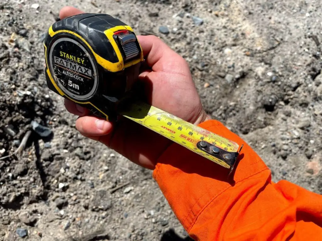
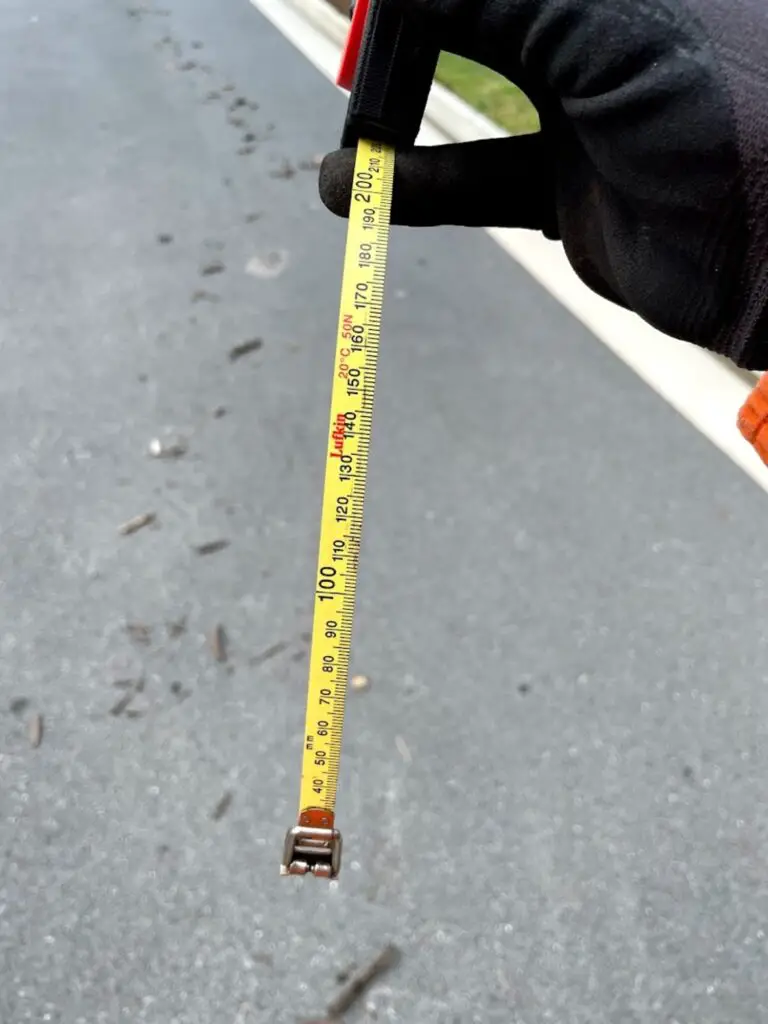
Like the steel rule, with an experienced eye, you will be able to measure distances within 0.5 millimeters provided it is on a flat surface and the ambient temperature is at the tape standard temperature of 20 degrees Celsius (68 degrees Fahrenheit).
One of the drawbacks of using a tape measure to measure long distances is that there are other errors that come into play that can affect the accuracy of your measurement. Things to consider when measuring a long distance with a tape measure include:
- Is there any sag in the tape measure?
- What is the ambient temperature?
- What is the tension being put on the tape?
All of the above three factors can affect the accuracy of a measurement with a tape measure.
Read: Types of Measuring Tapes Used In Surveying
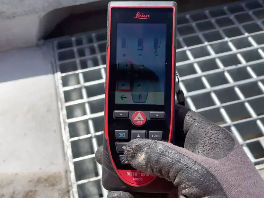
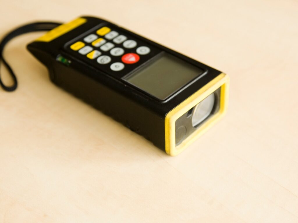
4. Laser Distance Measurer
The laser distance measurer is able to measure distances of up to 300 meters with an accuracy of 1 to 2 millimeters for the top tier products.
Some examples of popular laser distance measurers are:
| Brand & Model | Range | Accuracy | Price |
|---|---|---|---|
| Leica Disto S910 | Up to 300 meters | 1.0 to 2.0 mm | From US$1,519 |
| Leica Disto D2 | Up to 100 meters | 1.5 to 3.0 mm | From US$200 |
| Dewalt 50m Laser Distance Measurer (DW03050-XJ) | Up to 50 meters | +/- 1.5 mm per 10 meters | From US$100 |
| Ozito 25m Laser Distance Measurer LMR-025 | Up to 25 meters | +/- 3.0 mm | From AUS$45 |
The benefit of laser distance measurers over tape measures are:
- Range. It is able to measure longer distances than a regular tape measurer.
- Accuracy. You do not have to consider things such as temperature, sag, and tension which have an impact on the accuracy of a tape measurer accuracy.
- Speed. It is easier and faster to get measurements than with a tape measurer.
- Versatility. You can easily measure over obstructions and from one end of a building to another in one go.
- Convenience. You are able to do all your measurements without needing another person. If you were using a tape measurer you would need a second person to help you measure distances.
Laser distance measurers have many applications including:
- To measure up the internals of a building for a lease survey.
- For quality assurance check on a construction site by engineers.
- Architects when measuring up a building and verifying distances.
- Real estate agents when measuring up the areas of rooms in a house.
5. Total Station
The total station is able to measure distances over a long-range, accurately, precisely, and quickly.
A commercially available total station, the Leica TS16, can measure distances from 0.6 meters up to 10,000 meters, with an accuracy of +/- 1mm + 1.5ppm. This means for a distance measurement of 10,000 meters the maximum distance error according to the manufacturer’s specifications for the Leica TS16 is +/- 16mm.
A comparison of some total stations that surveyors use daily is below:
| Brand & Model | Range (to a prism/reflector) | Accuracy |
|---|---|---|
| Leica TS16 | >10,000 meters | +/- 1mm + 1.5ppm |
| Trimble S9 | 5,500 meters | +/- 1mm + 2.0ppm |
| Topcon GT1200 | 5,000 meters | +/- 1mm + 2.0ppm |
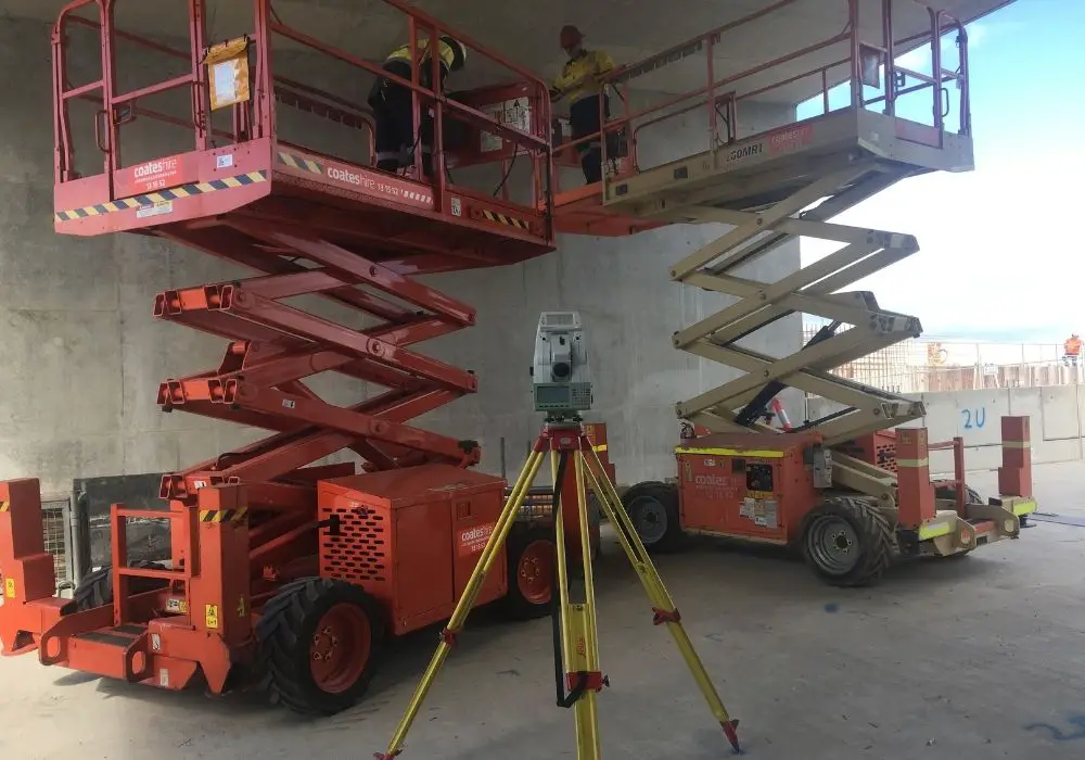
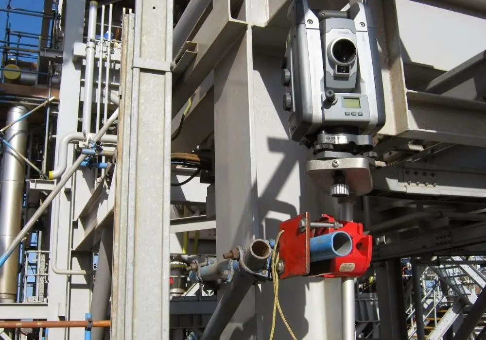
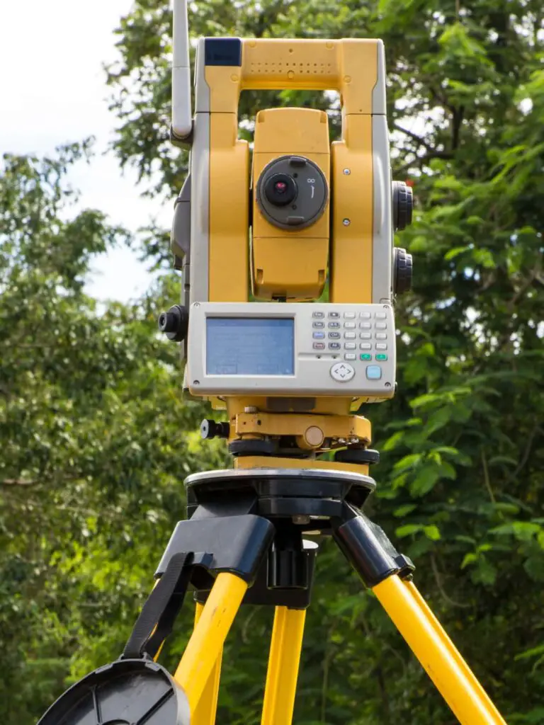
Total stations can measure such large distances quickly by measuring to a surveyors prism which helps reflect the infrared wavelengths back to the total station. The total station determines the distance between the total station and the prism by determining the whole number of wavelengths between the total station and the prism.
6. GPS Receivers
There are two main GPS observation techniques that can measure far distances very accurately.
- GPS RTK Survey. Provided your receiver at both the base station and rover are seeing enough satellites, you could achieve a horizontal accuracy of +/-15mm over 10kms in real-time.
- GPS Classic Survey. By observing baselines between two GPS receivers for several hours, distances of over 100 km can be measured with a horizontal survey uncertainty of 15 millimeters. The results of static surveys need to be post-processed in the office with specialized software.
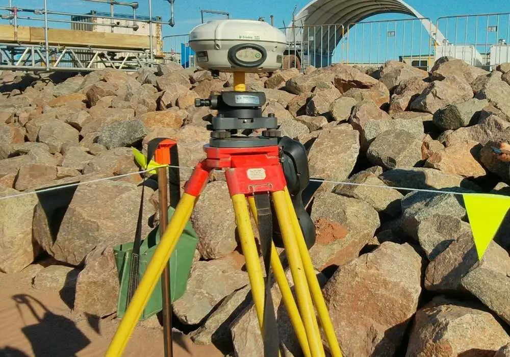
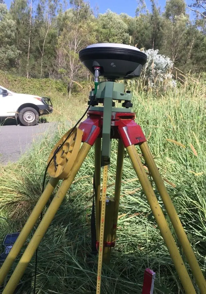
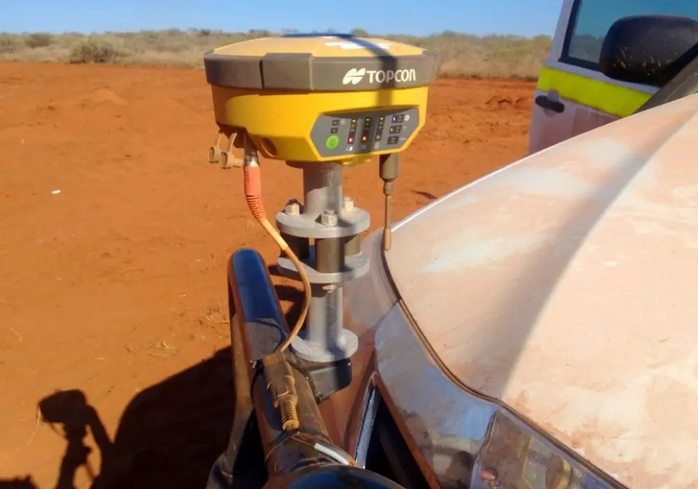
I have used GPS static observations in the past to set up and coordinate control on a range of projects. It is a fast and easy way to introduce survey control to a new site.
