Surveyors are professionals who are able to observe, measure and map the natural and man-made world. Surveyors utilize specialized equipment that is able to locate and measure the earth’s surface, property boundaries, as well as physical features.
There are many different types of surveyor specializations and responsibilities. Read below to see an explanation of the different types of surveyors, what they do, and what type of equipment they use.
Land Surveyors
Land Surveyors measure, map and locate property boundaries and the physical features of the earth’s surface.
Boundary Surveyors
Boundary surveyors are responsible for locating and defining existing and new property boundaries. They also can locate and define burdens on land such as easements or covenants. Boundary surveyors need to either be registered or endorsed by the relevant professional organization in their state or country.
For most projects, locating the property boundaries of the site are the first step, so the designers and engineers know what the area they have to work with includes.
Boundary surveyors use a range of equipment to assist them, which can include total stations and prisms, or GPS receivers. The equipment used will depend on the accuracy requirement of the survey.
Boundary surveyors can also be called upon to resolve and act as professional witnesses in property boundary disputes with neighbors when they are unable to agree with the surveys done, or if they are trying to claim additional land through adverse possession.
Feature and Contour Surveyors
Feature and contour surveyors, also known as detail surveyors, capture and create detailed maps and plans of the natural and physical features of a piece of land.
They use a variety of surveying equipment depending on the accuracy requirements of the project, most commonly including:
- Total stations,
- GPS receivers,
- Drones, and
- Laser scanners.
The maps and plans created from these types of surveys complete by feature and contour surveyors are used in applications such as:
- Urban planning,
- Construction planning,
- Architectural design, and
- Environmental monitoring and management.
Engineering Surveyors
Engineering surveyors play a very important role in all engineering and construction projects.
- They are usually the first person on-site to measure and map the existing condition of a site, and to setout the limits and any sensitive boundaries of the site.
- They then work with other construction professionals, trades, and operators to ensure the design is followed throughout the process.
- They then survey the completed project to record and map what was built, which is useful in locating unground features, and knowing what was built and where it is.
Engineering surveyors work in a variety of industries listed below.
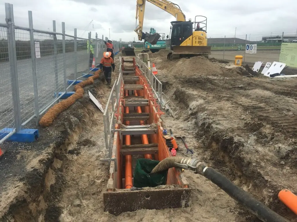
Civil Surveyors
Civil surveyors are responsible for the survey and set out on infrastructure projects such as:
- Roads,
- Bridges,
- Piling,
- Underground and above-ground services and utilities,
- Culvert and drainage features.
It is the responsibility of the civil surveyor to ensure that the project is constructed as per the design, and within any construction tolerances.
Generally, they are required to set out civil features such as concrete and hold down bolts within a high level of accuracy (up to +/-3mm) so they need to use an accurate survey grade total station to complete their work.
Depending on the accuracy requirements of certain features on the site they can do some set out with GPS, for features like clearance boundaries.

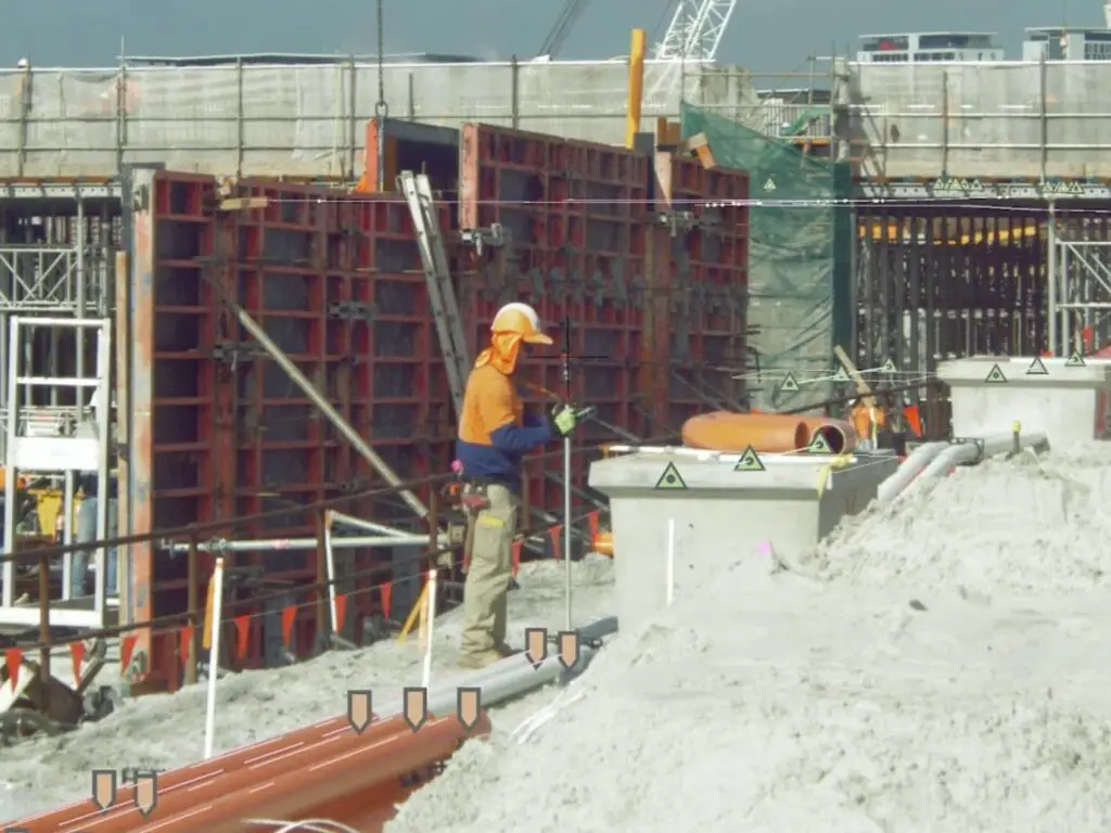
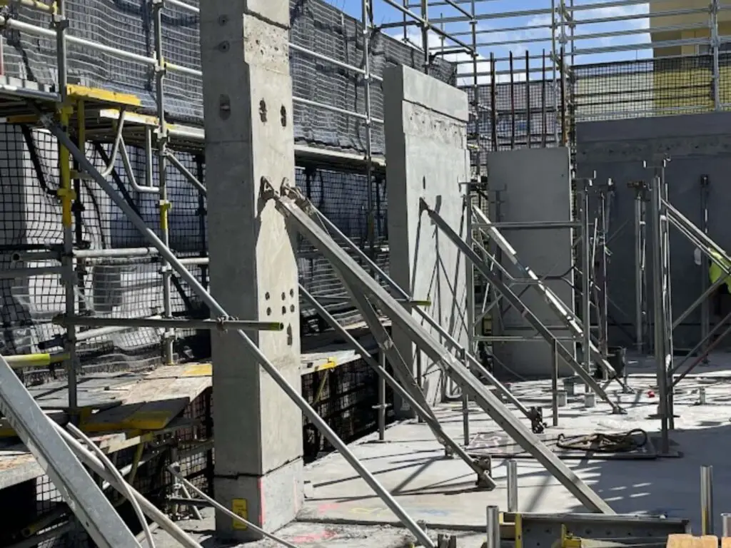
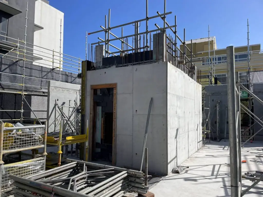
Construction Surveyors
Construction surveyors work on house and building sites and are responsible for ensuring that the building gets built as per the designs provided by other professionals such as structural engineers and architects.
As the building needs to be built to a high level of accuracy, the most common tool used by a construction surveyor is a high-accuracy total station.
Construction surveyors set out features on building sites like:
- Walls,
- Columns,
- Elevator shafts,
- Floor penetrations, and
- Edge of concrete slab.
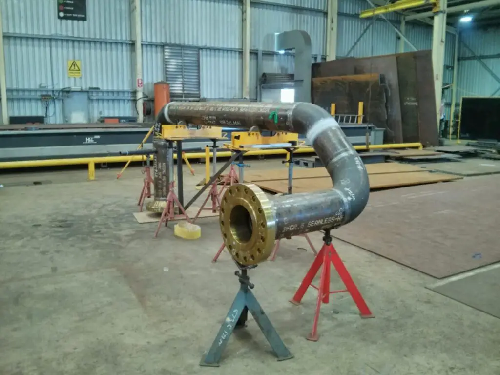
Dimensional Control Surveyors
Dimensional control surveyors work in both existing plants surveying pipes, flanges, and structural items that need to be replaced, and in the manufacturing workshops checking and verifying the dimensions on the newly constructed items built to replace items that are being maintained or replaced as they are faulty.
Dimensional control surveyors are required to work to a very high level of accuracy and use either total station or laser scanners to survey existing and new pieces of plants.
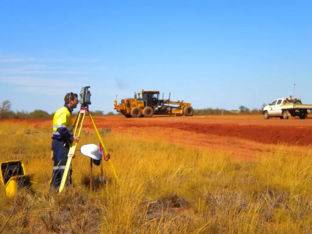
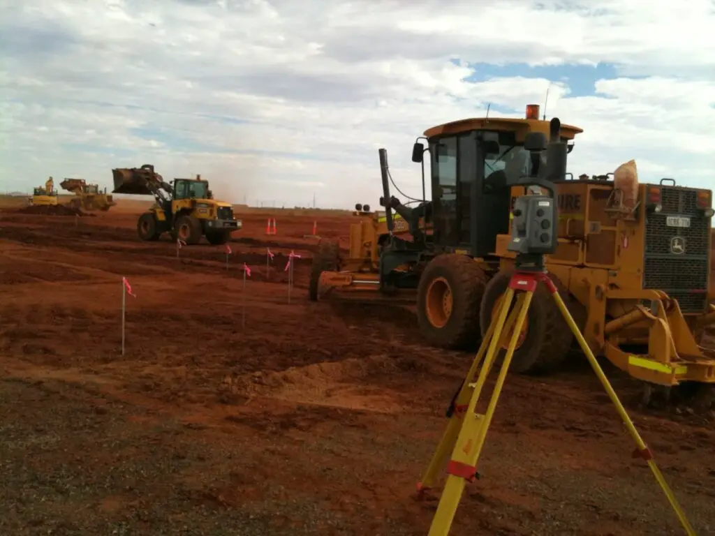
Earthworks Surveyors
Earthworks surveyors work on projects that involve a lot of earthworks like large-scale greenfield construction projects, roads, or dams. There is usually a larger allowable tolerance for these types of projects so the tools often used for setout are either total stations or GPS, and progress and volume surveys can also be completed by drones.
Earthwork surveyors also complete monthly progress claims as this is how the earthworks contractor usually gets paid, by the volume of material moved.
Rail Surveyors
Rail surveyors complete set-out surveys, as-constructed surveys, and monitoring surveys of rail placed.
The types of projects can include railways for:
- Trains,
- Gantry/overhead cranes, and
- Port cranes.
There are very strict tolerances for rails, including the height change per meter of the railways and the height difference between the rails at the same chainage. For this reason, the only suitable tool to use for these surveys is a high-accuracy total station.

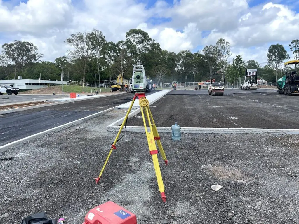
Road Surveyors
Road surveyors provide the setout and as-constructed survey services for large-scale road projects that often also include bridges and tunnels.
The general tasks of a road surveyor include:
- Setout of road pavement and subgrade and sub-base layers,
- Volume calculations of material used or required as per the design,
- As-construction surveys of built features, and
- Conformance surveys of the road levels.
It is the role of a road surveyor that the road and related structures get built to within the required tolerances.
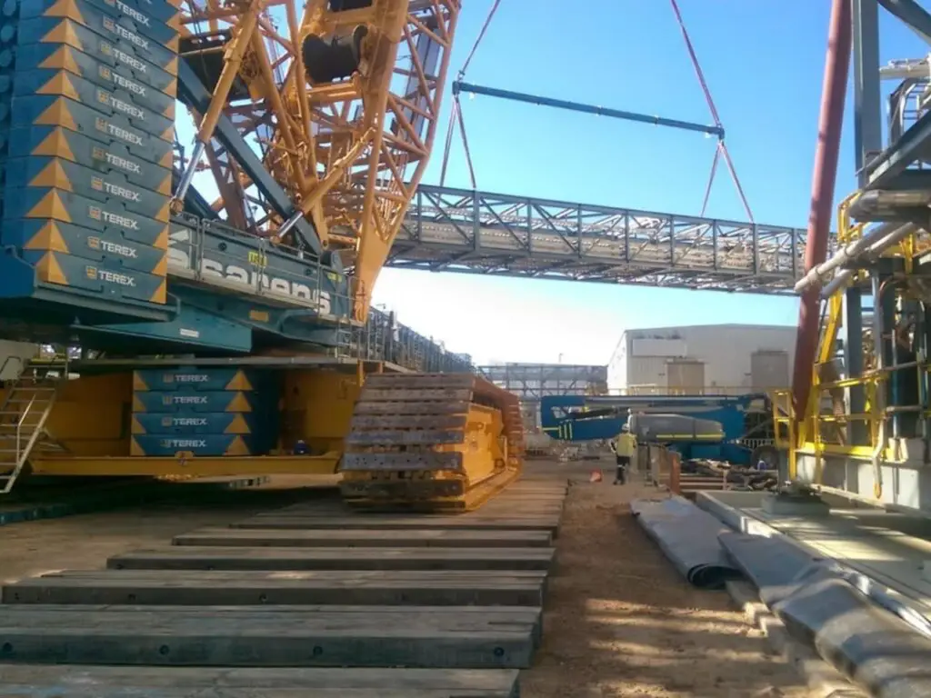
Structural, Mechanical & Piping (SMP) Surveyors
Structural, mechanical, and piping (SMP) surveyors work in the construction of new plants such as LNG or petroleum plants.
Tasks of an SMP surveyor include:
- Conformance surveys of the civil work complete,
- Setout of structures and structural items like modules, vessels, and structural steel, and
- Verify that built structures comply with the relevant construction standards (i.e., the verticality of structural steel).
SMP surveyors utilize total stations to be able to set out and survey features to a high degree of accuracy.

Mining Surveyors
Mining surveyors work in mines and provide surveying services that support and progress the extraction of minerals from the mine from the ground.
They work closely with other professionals including mine engineers, geologists, equipment operators and environmental engineers.
Mine surveyors can work in either an open-cut coal or metalliferous mine or an underground coal or metalliferous mine. Different equipment and surveying techniques are used depending on the type of mine.
Open Cut Mines
Open-cut mine surveyors use a variety of surveying equipment and techniques to measure quantities of overburden material and minerals extracted from the ground. They also set out the mining limits and ensure that excavation is done in the correct spot.
For surveys done in an open cut mine, there is not a very high level of accuracy required when compared to an engineering survey. That is why mine surveyors in the open cut environment can use GPS to complete most surveys when they are able to, and also drone and laser scanners.
If they are working in an area that has an obstructed satellite window and they are unable to use GPS, then they can also use total stations to complete their work.
Underground Mines
Underground mine surveyors a responsible for ensuring that the mine design is followed, and measuring the quantities of overburden and minerals that are extracted from the mine.
Underground mine surveyors use only total stations for all underground work, but there are some applications for laser scanners also. They are not able to utilize GPS as they are underground and the GPS receivers are not able to see any satellites.
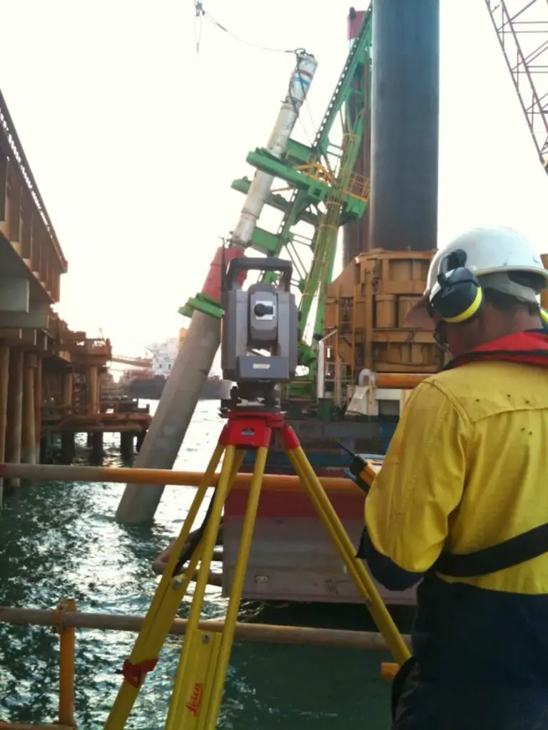
Hydrographic Surveyors
Hydrographic surveyors complete surveys of bodies of water, including:
- Oceans,
- Rivers,
- Lakes, and
- Dams.
Hydrographic surveys are critical to many different types of projects, including:
- Dredging,
- Marine construction, and
- Offshore drilling.
The most common piece of equipment that hydrographic surveyors use are multibeam echo sounders, which are able to measure the depth of a body of water and side scanners which are able to measure large areas close to shore.
Hydrographic surveys can be done on either large boats or small remote-controlled boats.
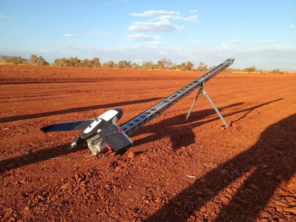
Aerial Surveyors
Aerial surveyors collect data using either planes, helicopters or unmanned aerial vehicles (UAVs). Aerial surveys are useful for collecting spatial data over large areas that would be difficult to collect on the ground, like mountains of tree dense areas. Topographic maps can be created from aerial surveys.
With UAVs becoming more affordable, more surveying companies have been using them in their daily workflow for tasks such as:
- Monitoring surveys for things like crops, deforestation, or land subsidence.
- Volume surveys for mine site and road projects.
- Topographic surveys of large areas that are difficult or time-consuming to survey on the ground.
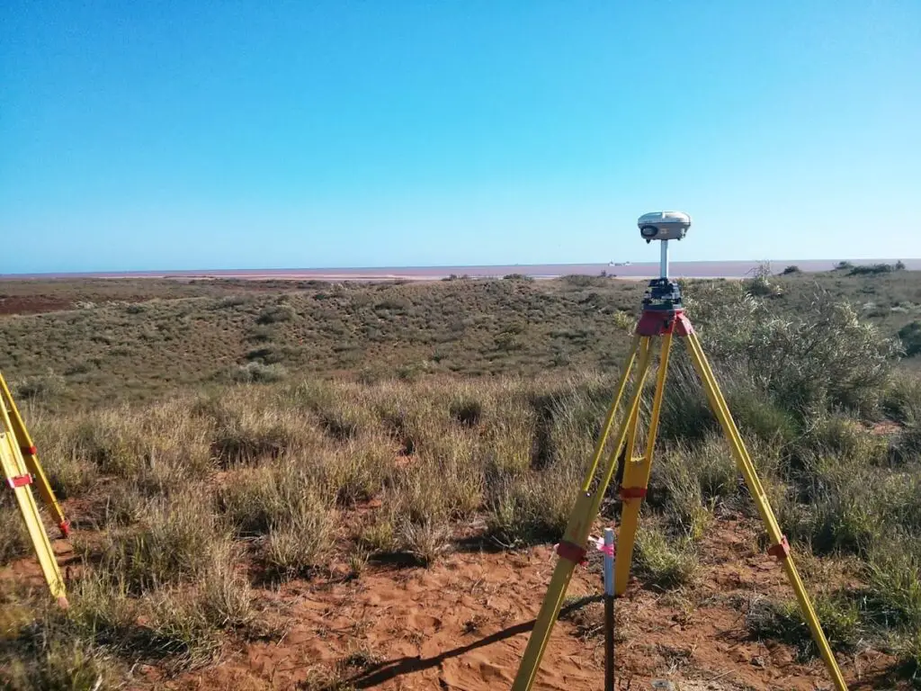
Geodetic Surveyors
Geodetic surveyors survey extensive areas of the earth that need to take into consideration the curvature, shape, and size of the earth.
One of the important tasks that a geodetic surveyor does is to establish geodetic surveying control points, which are used by many other surveys for other surveying works.
Monitoring Surveyors
Monitoring surveyors measure and monitor changes in the position, shape, and condition of the land or features over time. These surveys are done usually if there is an economic or human risk, and monitoring is one method to identify where the issues are which will help manage and control it.
Almost all types of surveying equipment can be used in monitoring surveys depending on what needs to be surveyed and the accuracy of the survey.
- Dumpy or digital levels are used to monitor the vertical change in height of a point on or around a structure.
- Total stations can be used to measure the horizontal and vertical movement of points on or around a structure.
- RTK GPS is used to measure the horizontal and vertical movement of points on or around a structure.
- Laser scanners can be used to measure changes in position over a large area like a mining pit batter, or sandbank erosion.
- UAVs are able to survey large areas of large and are useful to monitor deforestation or urban growth.

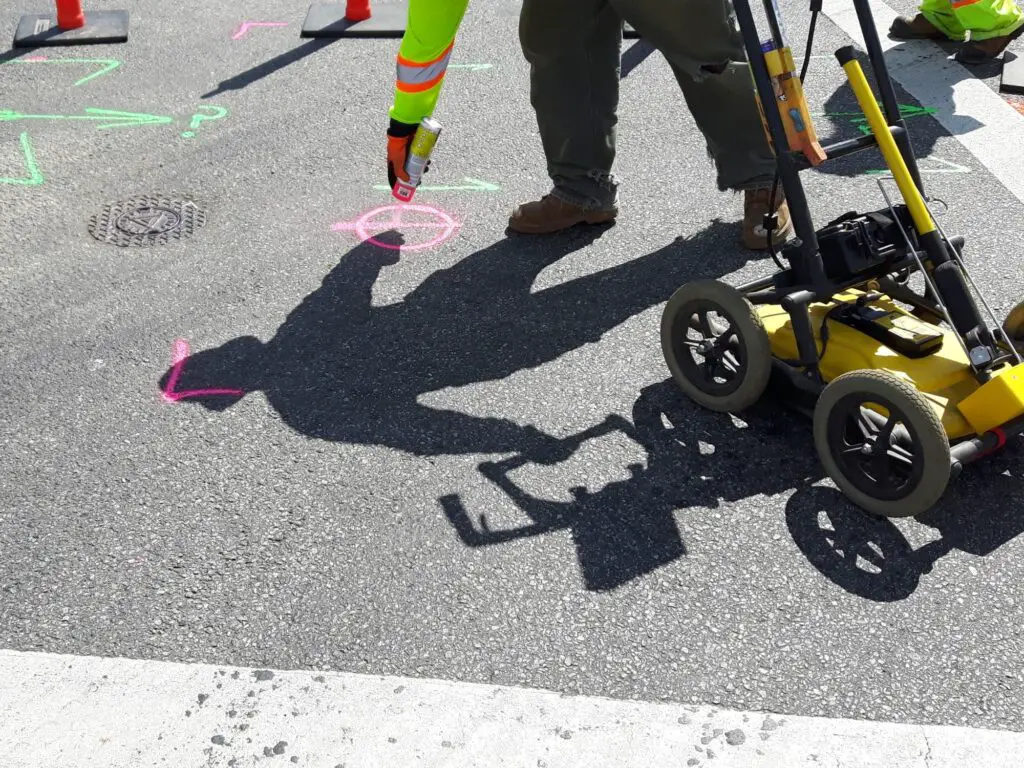
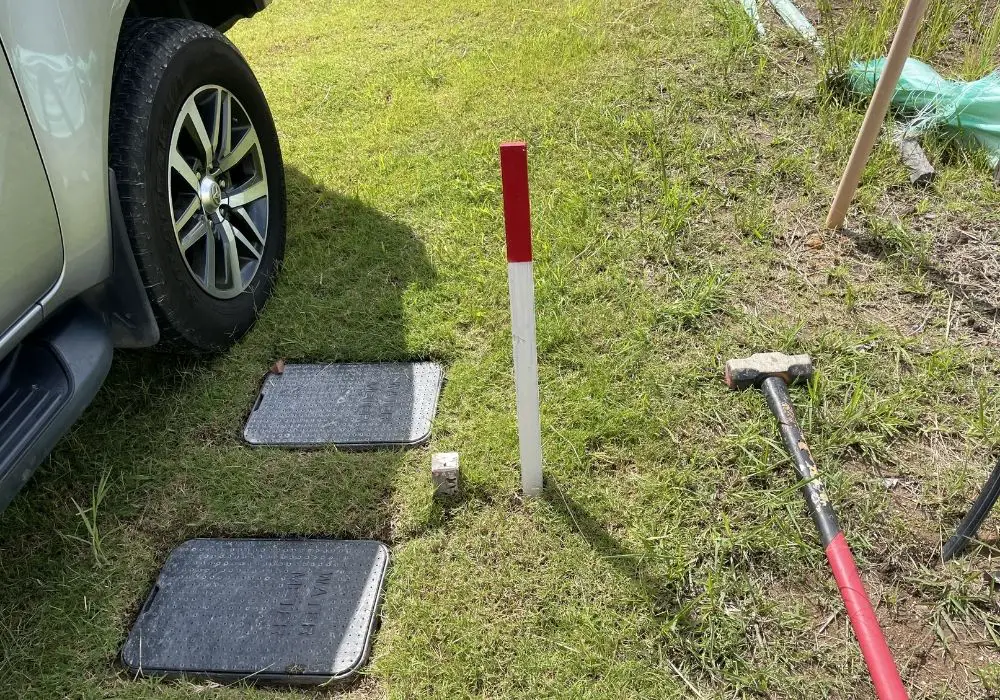
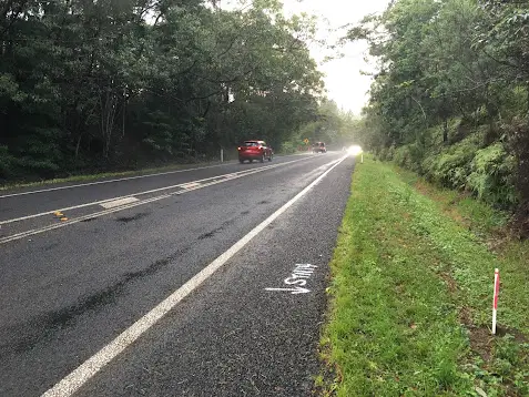
Underground Service Locator Surveyors
Underground service locator surveyors locate and survey the position of existing services under the ground and hardstand features.
Services that can be traced and located include:
- Electrical and communication cables,
- Gas lines,
- Water lines, and
- Culverts.
To locate the underground services, the two main tools used are:
- Electromagnetic locator. If one end of the service can be located in a service pit, the underground service locator can connect and send through an electromagnetic signal, which then allows them to trace a signal service and provide accurate depths and location to it.
- Ground Penetrating Radar (GPR) scanner. If the service cannot be connected to it, a GPR scanner can be used to locate underground services. It locates services by detecting anomalies in the geologic media or buried objects.
The services located are marked on the surface with either paint or crayon and then surveyed to be saved and plotted onto a plan.
Underground service locators are used on projects to find and trace existing services, to reduce the chance of machinery striking a live underground service, and are utilized on many different brownfield and greenfield projects, where existing services run through or adjacent to a site.