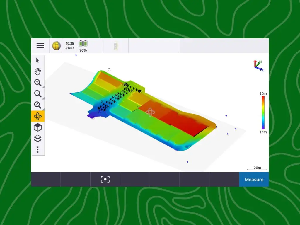
A Trimble Terrain Model (TTM) is a file that contains a digital surface. A TTM file is usually exported from Trimble Business Centre (TBC) (or other surveying packages like Civil3d, 12d and more) to be used by a surveyor in the field to either conform and surface or set out a surface.
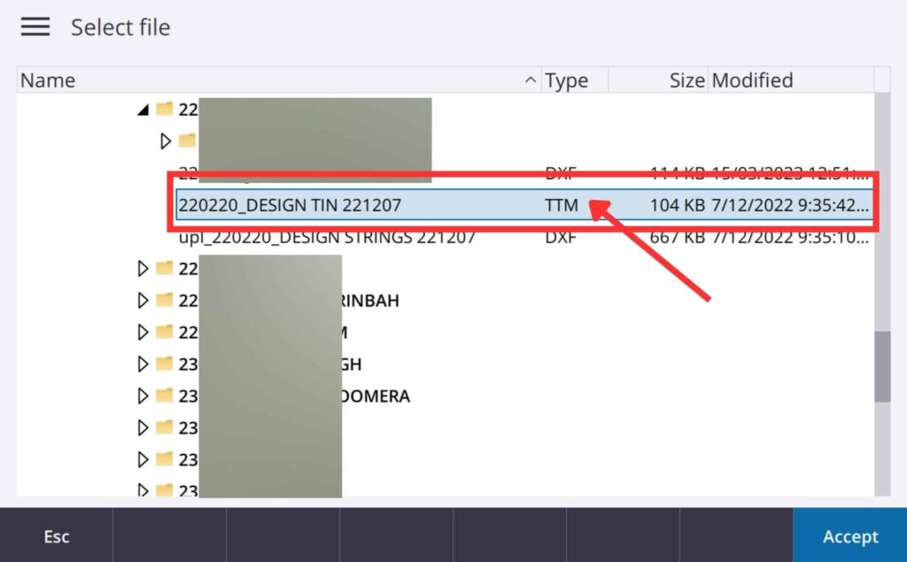
To export a TTM file from TBC go to Export and select TTM exporter from the Constructions tab. Type in the correct file name and review all of the other settings. If you are happy click OK.
The file extension of a Trimble Terrain Model is TTM.
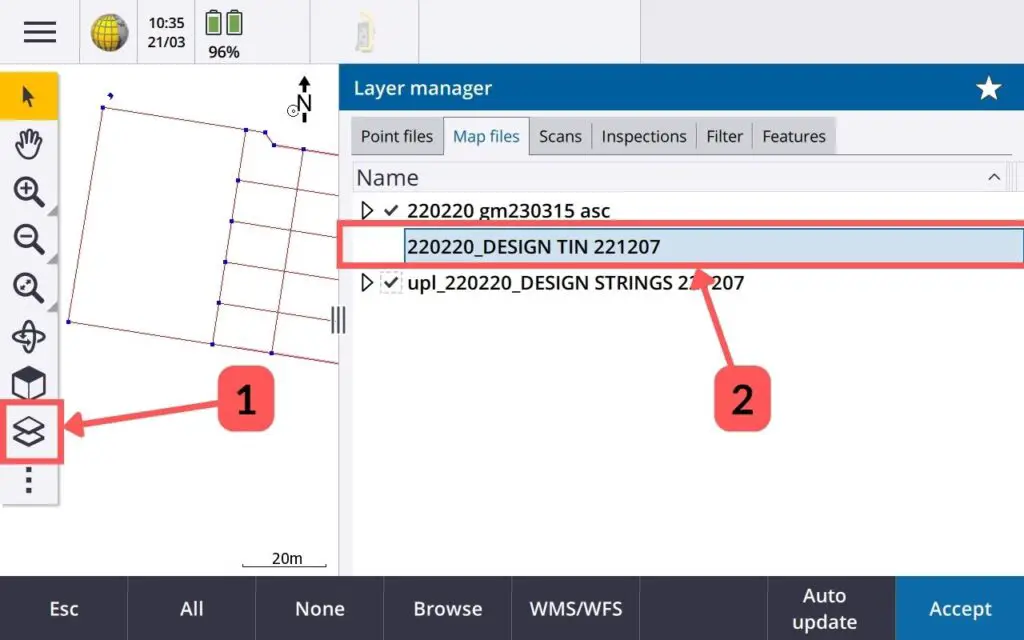
How to Activate TTM on Trimble Survey Controller (TSC)
To activate a Trimble Terrain Model (TTM) on a Trimble Survey Controller you open the layer manager (1) and then select the TTM file (2).
What does TTM stand for?
Trimble Terrain Model is what TTM stands for. It is the file extension for digital surface models that can be used in Trimble’s controllers.
