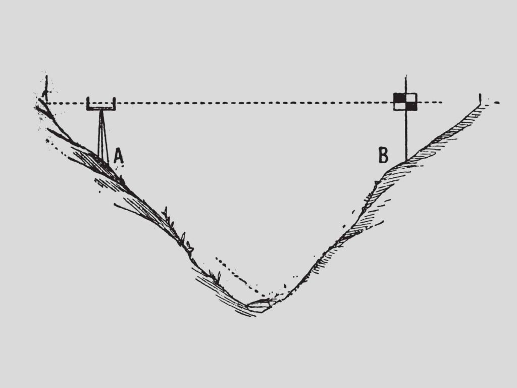
In surveying, the abbreviation “RL” means Reduced Level. Reduced levels refer to the elevation difference between a point and a stated vertical datum. The datum can either be a widely used and accepted datum (Mean Seal Level) or an arbitrary datum (made up). Reducing means equating the level of a point to the datum that is being used.
There are Permanent Survey Marks (PSMs) that are placed and maintained by the government which will be surveyed and have a published elevation based on Mean Sea Level (MSL). Any member of the public can view and use this information for their own surveys.
Surveying Instruments Used to Measure Reduced Levels
The instrument that surveyors can use in the field to measure elevations and determine the reduced elevations of points are:
- An automatic or digital level and staff.
- A total station and a prism on a pole or tripod.
- A GPS receiver on a range pole or a tripod.
How Do You Calculate RL in a Survey
When using GPS, total stations, or digital levels, if set up on a known vertical datum, they are able to calculate the reduced levels on points in the controller or instrument without any manual calculations.
If you are using a dumpy level, you need to note down your backsight and foresight measurement, and you can use either the height of instrument or the rise and fall method for calculating the reduced level of a point.
Is RL the Same as Elevation
When talking about elevation, this means the height above or below sea level. If the reduced level (RL) is based on the same mean sea level (MSL) datum, then RL and elevation are the same thing.

